epirus net
Αξιοθέατα, δραστηριότητες, ξενοδοχεία,
ξενώνες & ενοικιαζόμενα δωμάτια στην Ήπειρο.
ξενώνες & ενοικιαζόμενα δωμάτια στην Ήπειρο.
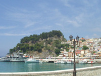
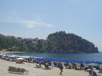
The beaches of Parga
Parga is definitely a place of attraction for thousands of tourists every summer, not only for its natural beauty, but also for its beautiful beaches. You can enjoy swimming at their calm and warm water, but also do your favourite sea sports or water games.
Most of the πbeaches offer all the comforts and have all the conveniences for jet – skiing, sea ski, windsurfing, kitesurfing, divings (very inetresting it is the diving around the castle of Parga and the islet of Agios Nicolaos) and many other water games.
In the region of Parga, there are also many beaches that are approachable from the sea, by boat.
The best beaches are:
- Ai Giannakis
- Lichnos
- Valtos
- Sarakiniko
- Kryoneri
- Piso Kryoneri
Filiates
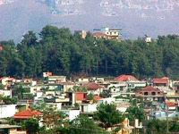
The town of Filiates is built on a forest of pine trees. It is located at a distance of 20 km. from Igoumenitsa and its final border reaches to Sagiada. It is a municipality and is the capital city of the province of Filiates having a cultural centre and a hospital. It is the commercial centre of the region. Near the town flows Kalamas river.
Interesting in the region is its mountainous villages, with their old houses built by stone and covered by plaques according to the architecture of Epirus.
Sights in the region of Filiates:
- Sagiada, a picturesque village of fishermen of the region
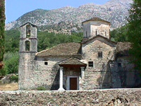
- The monastery of Virgin Mary of Giromeri of the 1285, in Giromeri
- The monastery of St. George in Kamitzani
- The monastery of St. Minas of the 1882 in Kokkino Lithari, built onto a rock
- The church of St. George in Faneromeni
- The church of the Dormition of Virgin Mary of the 1847, in Tsamantas
- The monastery of St. Athanasios in Vavouri
- The church of Metamorphosis of Jesus Christ in Foiniki
- The Folk Art Museum of Tsamantas, in Tsamantas
- The Folk Art Museum of Foiniki, in Foiniki
- The cave of Sideris in Filiates
- “Askitario”
- The castle of Doliani in Parapotamos – www.parapotamos.gr
- The ancient Toroni (Peraia of Corfu)
- The ancient site of Fanoti, in Geroplatanos
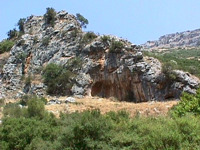
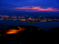
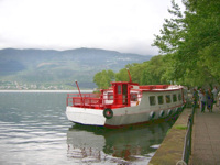
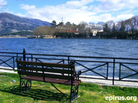
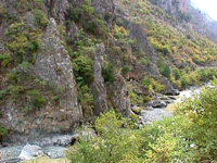
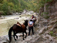
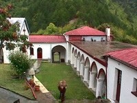
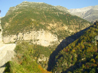
A trip to the prefecture of Ioannina, duration 4 days
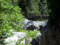
| <! – 1η φωτό ->
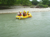
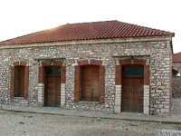
<! – 2η φωτό -> <! – 3η φωτό ->
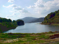
<! – 4η φωτό -> |
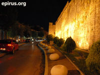
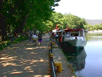
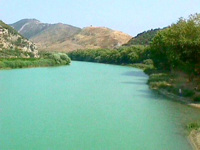
We suggest you a programme of tours and visits which you can use during your trip to the city of Ioannina. The programme of the visits lasts 4 days and you will have at least 3 overnights in the region, at a hotel of your choice. In this way, you will have the chance to admire the most important sights of the region.
1st Day:
Arrival to the city of Ioannina by car or plane. During the first day of your sta, we suggest you visit:
- The historical castle of Ioannina and see the spaces and the bulidings inside it, but also and the two museums that there are inside the castle, the Byzantine Museum and the Folk Museum
- The lakeside region of Molos with the cafes and the taverns
- The populated island of Pamvotida lake, where you will see the Historical Museum of the Island at the Monastery of St. Panteleimon, the rest old monasteries and monuments of the island. You will also have the opportunity to enjoy tastes of the greek cuisine and local dishes at the taverns of the island
- For you night entertainment, if you wish, you can visit the bars and clubs at the region of Molos or at the region of Skala (near the castle) or during the summer period, the nights clubs that there in Amfithea, at a distance of 10 km. from the city, on the nationl road of Ioannina – Trikala.
2nd Day:
During the second day of your stay in the area, we suggest you visit:
- The museums of the city of Ioannina: the Archaeological museum, the Folk museum. etc, that there are in the centre of the city of Ioannina
- The archaeological theatre of Dodoni, one of the most important archaeological monuments of our country, built in the 3rd century B.C. [Access to archaeological Dodoni: Distance 22 km. from the city of Ioannina. You follow the national road of Ioannina – Athens, with direction to Athens until the 7th km. In this point you turn right to the village of Pedini and follow the road for 15 km.]
- The worldwide famous “Museum of Modern Greek History” of waxes, of the creator Pavlos Vrellis. The museum is accommodated into a stone buliding – copy of a mansion of Epirus of the 18th century and includes 36 succeeding sculpting compositions and 150 waxes of natural size. [The museum is located at the 12th km. of the national road of Ioannina – Athens]
3rd Day:
- Visit the Cave of Perama which is located to the homonymous residence, 4 km. from the city of Ioannina. Inside it dominate stalactites and stalagmites of strange shapes and colours, in a route of 850 metres. [Access from the national road of Ioannina – Trikala, 4th km. through Perama]
- Departure for Zagori (for lodge choice please see www.zagori.info)
- Trip to the picturesque villages of Zagori and its sights which there are to the region (bridges, canyons, paths, old mansions and other monuments – for more information please see www.zagori.info)
- Don’t forget to eat at the traditional taverns and restaurants of Zagori, where you will have the chance to meet the rich tradition of the region, but also the tastes that you will find here only. Taste definitely the local pies and other specialties of the region.
4th Day:
- Visit Vikos gorge which is considered to be one the best canyons of Europe. The canyon is approachable from many places: From the village Monodendri at the location of Oksia, from the locations of Beloi (near the village Vradeto), from the Monastery of St. Paraskevi near Monodendri, etc. You can also go down the gorge from the marked paths that there are in the region (duration about 6 hours) from where you can enjoy the region and the rare species of animals that live into it.
- Visit the rivers of the region, where you can do canoeing, kayak, rafting, and othe relative activities, such as the river of Voidomatis, after Aristi village.
- Departure from the region.
A trip to Pamvotida lake
| <! – 1η φωτό -> |
The famous by songs lake of Ioannina, Pamvotida lake, enchants every traveller with her beauty. You can enjoy it by walking at the pier around the east side of the castle and the lakeside zone of the city. At this area of the city there many places of entertainment, bars and cafes where you can enjoy your drink or coffee.
It is also necessary a visit to the island of Pamvotida lake (the only one lake island of Europe with habitants). Boats do ferries from and to the Island.
Another one good suggestion for trip, is a trip around the lake by car. The route is a good way to see the whole lake, but also visit the villages around the lake and other interesting sights, such as the Cave of Kastritsa and the Monastery of Dourachani in Drampatova. In the region of Drampatova you can also find many restaurants and taverns where you will have the chance to enjoy local plates and plates of Greek cuisine.
See also: “Sports in Pamvotida lake“
A trip to Kalamas river
| <! – 1η φωτό -> <! – 2η φωτό ->
<! – 3η φωτό -> |
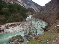
Kalamas river flows near the village Ragio at the northwest of the prefecture of Thesprotia, between Mavronoros and the hill of Mastilitsa. A dirt road leada to the river delta, and from there you can continue by walking until the point where the river meets the sea.
A trip to the river delta of Kalamas
The river delta of Kalamas is a shelter for many different species of birds, but also for herds of wild horses. At the banks of the river grow many plane trees. The majority of the little islands that are formed at this place have been covered by the deposits of the river. Another way to observe the thousands of birds that nest at the delta river is by boat from Sagiada.
A trip to the narrow gorge of Kalamas
The access to the region is possible from many places, with starting point either Ioannina, or Igoumenitsa, or Filiates. At the beggining and the end of the gorge, you can see the citadels of Osdina and Raveni, standing on bulk rocks. During your trip you will see the old watermills, the two citadels with byzantine fortresses and post-Byzantine churches, rare flora and the steep cliff which there is at “Faraggopidima” location.
A route by boat in Acheron river
| <! – 1η φωτό -> <! – 2η φωτό -> |
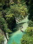
From the cove of Ammoudia where flows Acehron river, you can enoy the natural beauty of the region by boat. The trip to the river is really exciting. Acheron river is navigable till Mesopotamos village.
See more: Acheron river, Ammoudia
Trips in the region of Konitsa
|
Mountaneering trails in the region of Konitsa
The region of Konitsa, mostly mountainous region is offered for mountaneering trips. We suggest the following:
- Palioseli – Mountain lodge on Smolikas – Drakolimni of Smolikas
- Agia Paraskevi – Drakolimni of Smolikas
- Distrato – Samarina
Climbing on Mount Smolikas
At an altitude of 2.637 m. Mount Smolikas is one of the most impressive mountains of the north Pindos and the second highest mountain of Greec after Olympus. From Pades or Agia Paraskevi, as starting points you can enjoy an outstanding route. Passing through beautiful pin forests, you will get, after 5 hours walking, to the famous “Drakolimni” of Smolikas at an altitude of 2.150 m.
A trip to the gorge of river Aoos
From the stone bridge of Aoos, a miracle of architecture of builders from Pyrsogianni (1870), starts a marked path along the river Aoos with direction to the gorge. The gorge extends between steep slopes, but there are also and places where the tourists can have a cool swimming.The exceptional ecosystem of the river becomes a shelter for many kinds of animals and birds, such as wolves, wild boars, deer, otters, woodpeckers, squirrels and kinds of eagles, etc.
During the trip the visitor will see the beautiful waterfall of Gravos, which is located near to the Monastery of Stomiou (1774). The view to the gorge from the monastery is outstanding. The path for those who want to continue the trip to the “Passage of Karteros”, ends up in a beautiful plateau and then goes down to the village of Zagori, Skamneli (lasts about 3 hours more). Moreover, from the plac “Desi”, at a distance of half an hour from the monastery you can continue the route to Drakolimni if you wish.
Trips and activities in Katsanochoria – Tzoumerka
| <! – 1η φωτό -> <! – 2η φωτό -> <! – 3η φωτό -> |
The region of Tzoumerka offers unique mountaineering and hiking trails, but also many other activities.
We suggest the following trails and activities:
- Mountaneering trail Matsouki – Vyliza – Kalarrytes (2 hours)
- Mountaneering trail Matsouki – Strogoula (2429 m.) – mountain lodge at Isioma location (4 hours, hard)
- Climbing on Karkaditsa top
- Mountaineering path Τ2: pin forest of Markopoulo – Raftanaioi – Monastery of Virgin Mary Mouchousiotisa
- Mountaineering path Τ1: Christoi – Monastery of Kipina – Kalarrytes or Syrrako
- Hiking trail at the gorge of Arachthos Chrousia (old mills)
- Hiking trail: Pramanta – Strogoula – Monastery of St. Paraskevi – Cave of Pramanta (2 hours)
- Horse riding at Ippostrouth farm [www.ippostrouth.com]
- Rafting – kayak in Kalarrytikos river (Gkogkos bridge – Politsa bridge)
- Rafting – kayak in Arachthos river (Plaka bridge – gorge)
See more: Villages in the region of Tzoumerka [part of the prefecture of Ioannina]
Climbing on Mount Gorilas
From the village Agia Kyriaki, which is located at a distance of 8 km. from Paramythia, or from Paramythia you can climb on Mount Gorilas by following the marked path and you can also visit the cave of St. Arsenios, in which there is the church of St. Arsenios that feasts in summer.
If you decide to climb on the top (1658 m.), you will be compensated for this difficult climbing lasting 6 hours by the view of the whole town of Paramythia and the plain.
A trip to Arachthos estuary
| <! – 1η φωτό -> <! – 2η φωτό -> |
The route to Arachthos estuary done by a little boat from Neochoraki to the estuary of Arachthos – Logaros – Tsoukalio and Rodia where is the pelicans’ shelter.
See more: Arachthos river
A trip to Tsopeli lagoon
| <! – 1η φωτό -> |
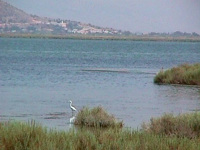
The lagoon of Tsopeli is located at Amvrakikos bay and it is at a distance of about 11 km. the city of Preveza. The rich avifauna of the area has a big interest and the naturalists can admire it either by the appropriate observatories which are around the lagoon or by walking on the narrow strip of land which separates it from Amvrakikos bay.
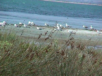
This strip of land is also the biggest beach with shells in Preveza with thousands kinds of shells. In sping many species of birds, such as pelicans or gulls, nest on the small islets of the lagoon.
On the north of the lagoon ends up Louros river. This River Delta is an important ecosystem of this region.
A trip to Acheron river
| <! – 1η φωτό -> <! – 2η φωτό -> <! – 3η φωτό -> |
Acheron river is located at the prefercture of Thesprotia. Its springs are on the mountains of Souli and ends up in Ionian Sea. Acheron river and the areas around it are an important ecosystem recognised and protected by Natura 2000. In this region of exceptional beauty you can enjoy walkings, sports, trips and excursions. In Acheron river you can also do many activities like rafting, etc.
The springs of the river are located at Glyki village on the margins of the prefectures of Thesrotia and Preveza. For thoese who can stand its cold water, they can enter the river from its springs as it is shallow in many parts. Going up against the river stream you can pass under the bridge of Dala where the stream Dala meets Acheron.
Along the route, there is “Tzavelaina Stairs“, the famous path that was used by the residents of Souli during the Ottoman period. You can continue till the springs of stream Dala, where there is an old restored watermill, or follow the road to “The Gates of Hades” directed to Serziana, a point where the canyon is very narrow.
In the past the rocks were united on the top, giving the image of a tremendous gate, “The Gate of Hades“. You can find many points of the river where the water flows slowly and offered for swimming.
A visit to Salaora
In Salaora there is a research centre and information. It is located at a distance of 22 km. from the crossroad of Kostakioi – Koronisia. The tour at the centre lasts about 1 – 2 hours with a direct display of the birds of the wetland.
Sightseeing tour at the Centre of Information and the lighthouse of Kopraina
Kopraina is located at a distance of 10 km. from the crossroads of Sykees. You can do a sightseeing tour at the Museum of Natural History, at the aquarium. The tour lasts about 2 – 3 hours. In the museum there is also a library with many books offered. There is also a guesthouse available. In addition you can do a sightseeing tour at the lighthouse of Kopraina, at a distance of 1 km. from Kopraina, where there is a museum of lighthouses and natural history. The tour lasts about 1 – 2 hours.
Trekking in the forest of Lekatsa
In the prefecture of Preveza you can do trekking in many regions of outstanding natural beauty. One of them is the forest of Lekatsa, close to Myrsini village. It is a forest of rare fauna and flora and a natural animal shelter. There is a path in forest for the visitors, which encircles the forest and other kinds of joy. The Monastery of Lekatsa is located very close to it.
Climbing – Trekking at Pogoni
Mount Nemertsika is located at the north of Pogoni, at the borders with Albania. Its altitude is at 2.209 m. and it is one of the highest mountains of the prefecture of Ioannina. It offers ideal conditions for climbing for the experienced climbers through beautiful routes into whole green and virgin forests.
You can admire the outstanding view of Pogoni from Nemertsika, especially from the places of Mpitsikopoulo and Prophet Elias by routes of 3 or 4 hours from Meropi, Kefalovryso or Palaiopyrgos as starting points (there are no marked paths).
The forest of Bouna is located near to Delvinaki and offers beautiful routes as it is famous for its rich flora and fauna and also for Gormos valley, which is located near to it.
Other excursions and routes in the region of Pogoni:
- From Doliana to Lykoskos place (view of Tymfi & Nemertsika)
- Hiking in the forest of Meropi – Palaiopyrgos
- From Agios Kosmas to Roupsia
- From Oraiokastro to Glava springs
- Trekking in Kouvaras valley, a marked path
Trips to Metsovo region
A trip to the artificial lake of Aoos springs:
The artificial lake of Aoos was created along with the hydroelectric dam in 1987. It is located very close Metsovo in the plateau of Politsa, On the foothills of Mavrovounio at an altitude of 1350 m. You can make the lake round by car or by με mountain bike (30 km. totally), fish or see the rich flora and fauna of the lake as it has been evolved to an important ecosystem.
Other activities:
- Skiing to the ski centres of the area «Karakoli» and «Prophet Elias»
- Horse riding and rides with the horses in the plateau of Politses, in a landscape of admirable natural beauty
- Trekking and hiking in the paths to the National Park Valia Calda or to Mavrovounio mountian lodge
- Mountain trails by 4×4 car or by motorbike
